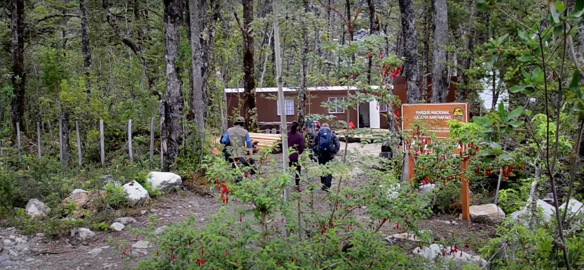
Parque Nacional
Laguna San Rafael
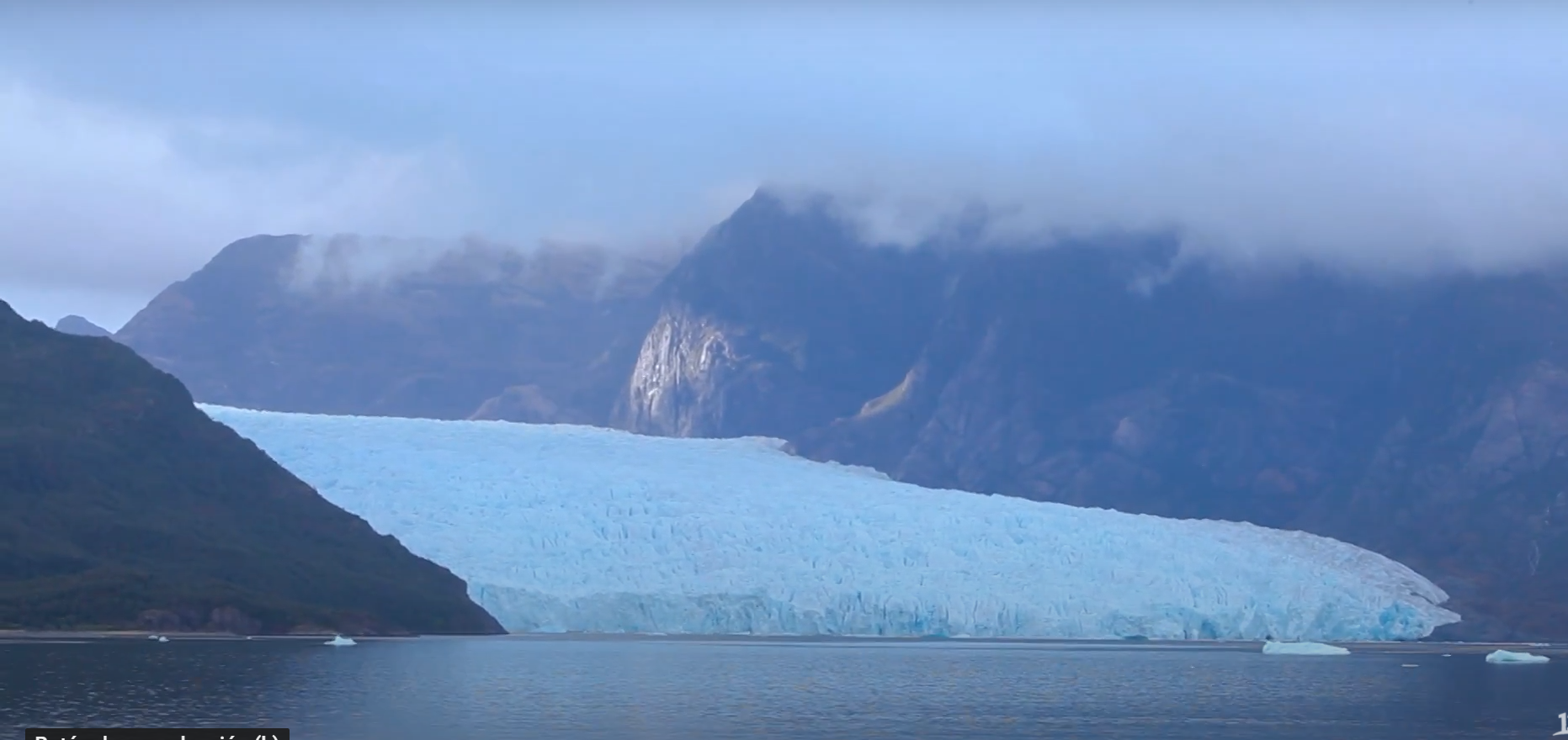
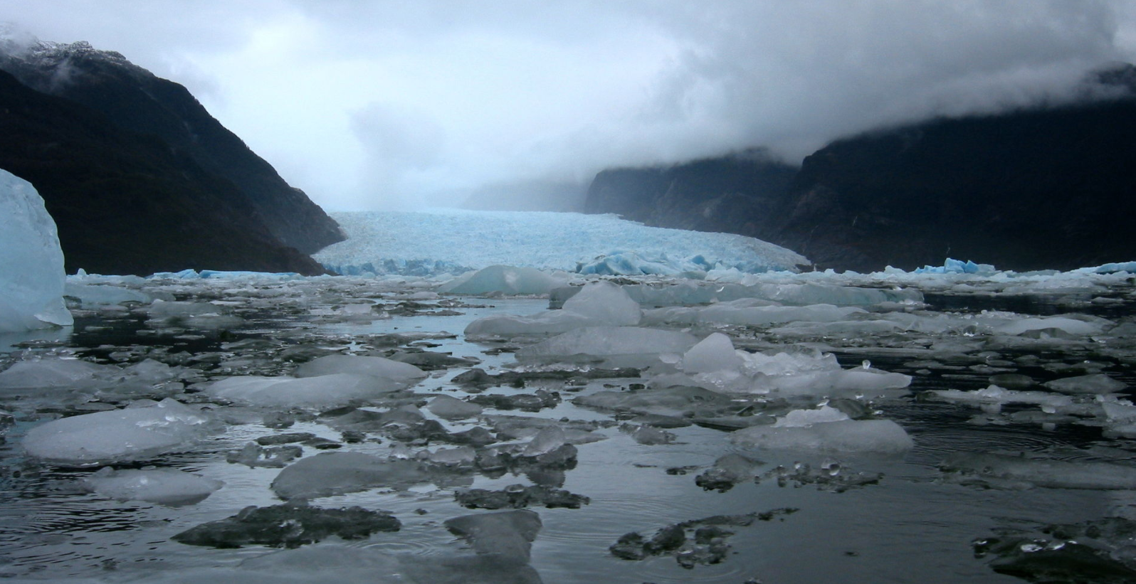
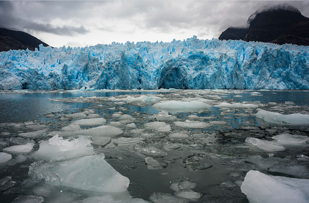
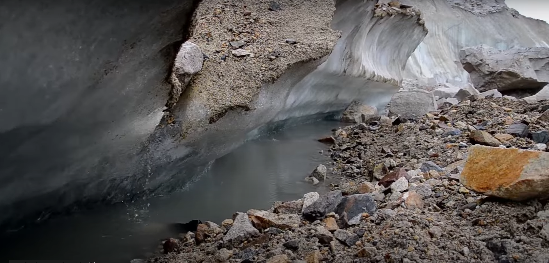
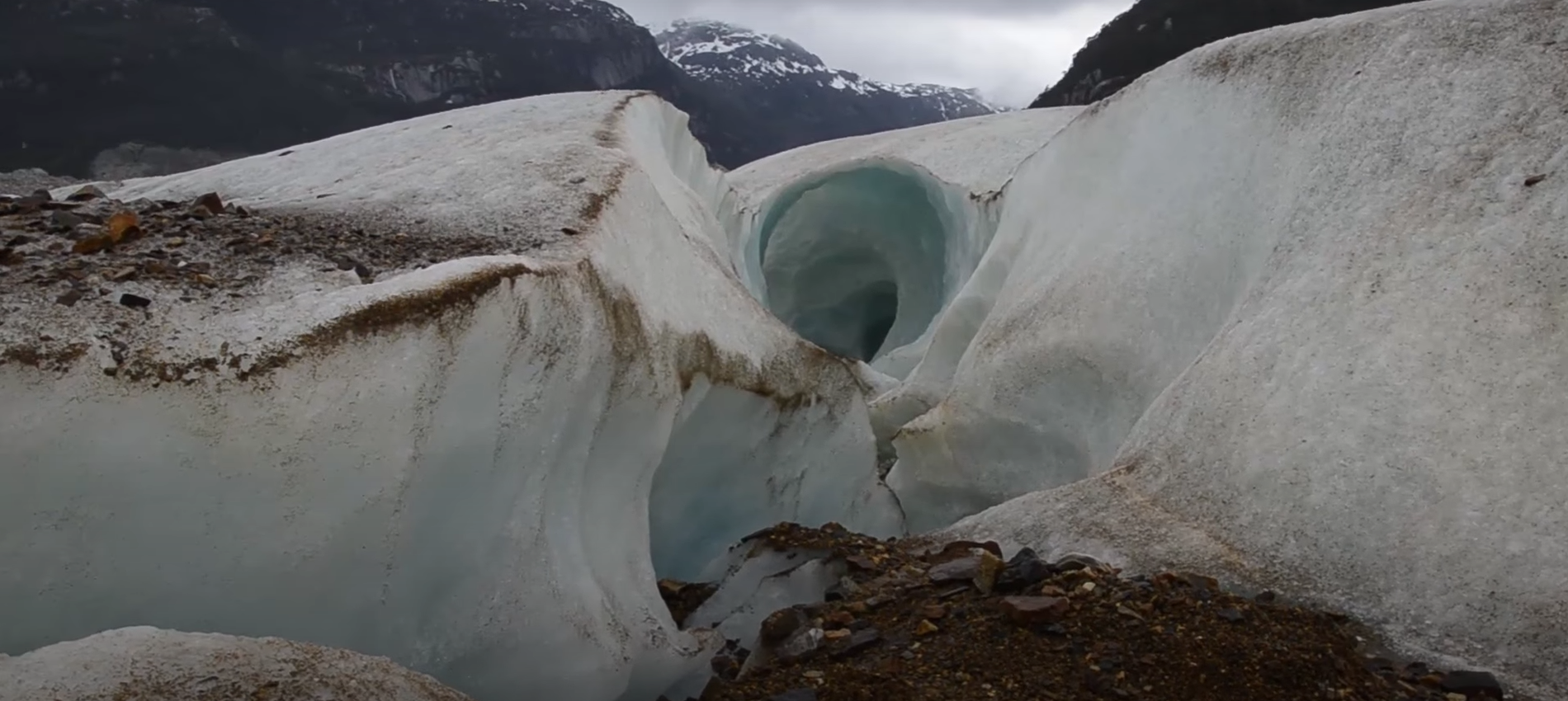
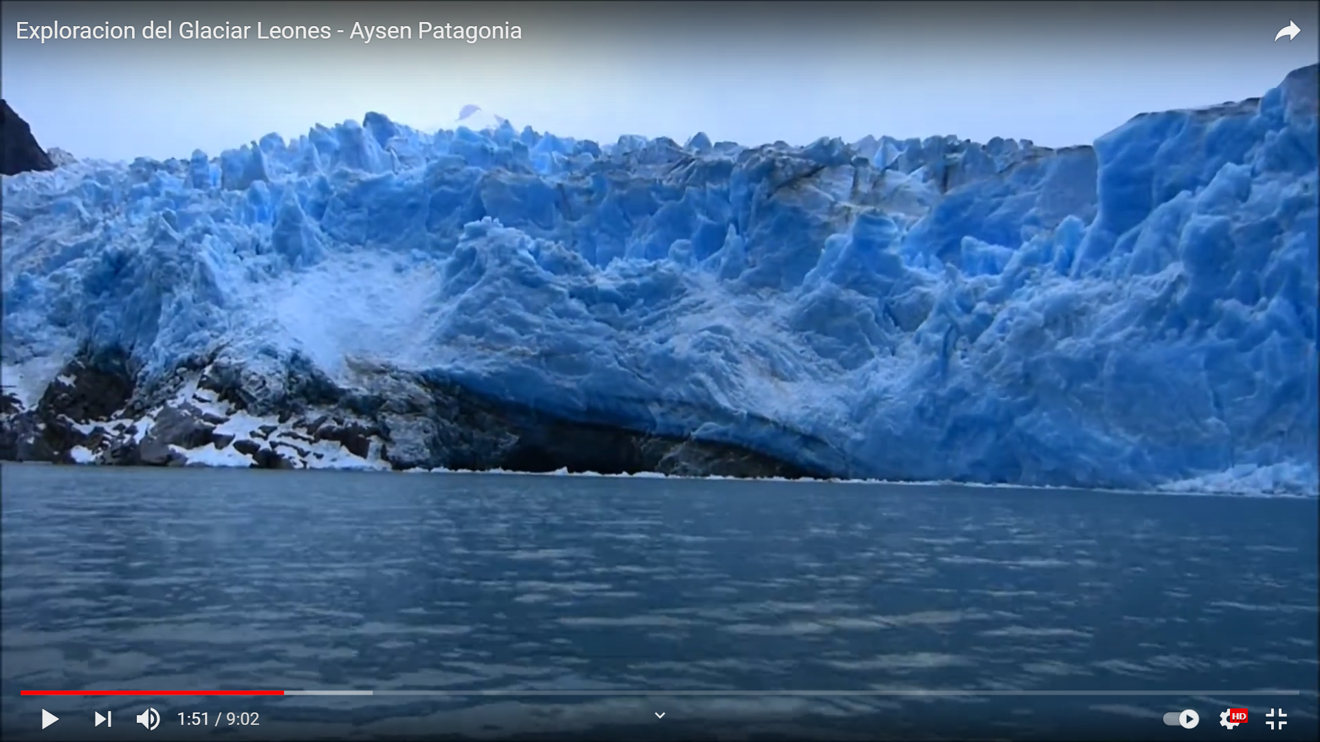
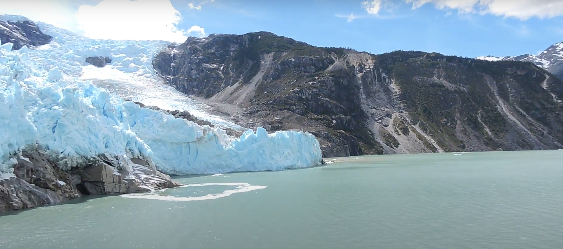
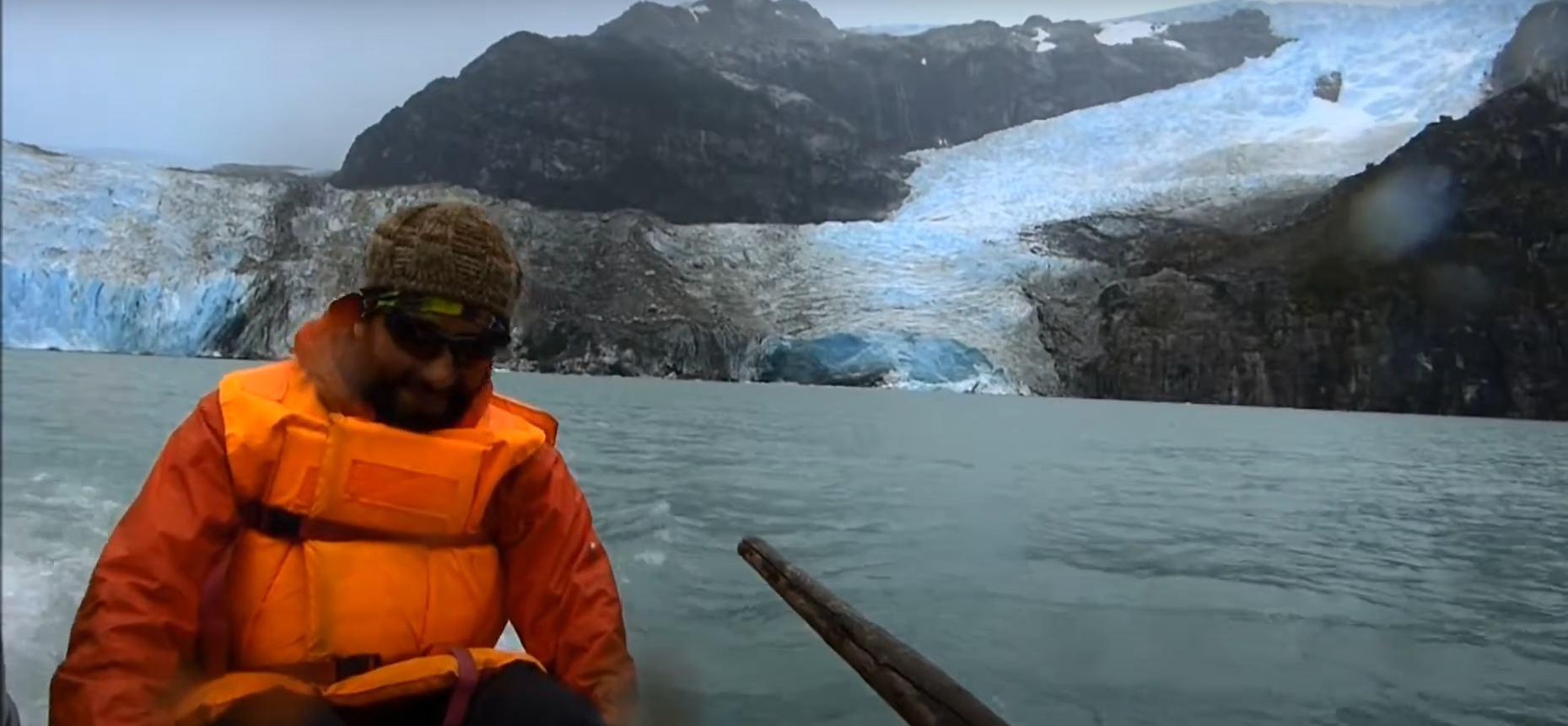
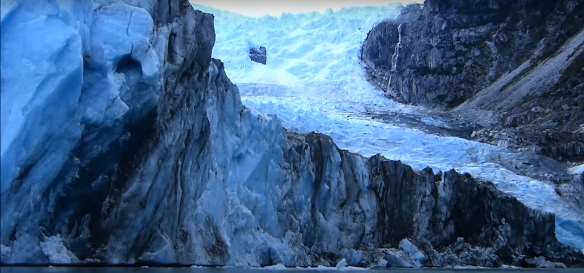
The Laguna San Rafael National Park was created in 1959, its area is approximately 1,740,000 hectares, it is the largest in the Aysén region and was declared a Biosphere Reserve in 1979. The park includes four major landmarks: 1) Mount San Valentín of 4,058 m.a.s.l., the highest in Patagonia, whose first ascent was on December 18, 1952 by an expedition of the Andean Club of Bariloche. 2) The Northern Ice Field: approximately 400,000 hectares of the park correspond to this ice field, whose ice is 21% of the 20,000 km2 of the ice reserve in Chile 3) The San Rafael Glacier that flows into the Lagoon of the same name has a front of 2 km from north to south and a length of 20 km, its wall has a height of more than 50 meters. In the southern hemisphere it is the glacier that reaches the sea closest to the Equator. 4) Exploradores Glacier: located on the northeast slope of Mount San Valentín, it is a valley glacier, 18 km long with an approximate width of 3 km. It descends from 2000 m.a.s.l. to 180 m.a.s.l. You can visit the San Rafael Lagoon and the Glacier arriving by sea either from Puerto Chacabuco or from Bahía Exploradores. The Exploradores Glacier can be reached by land from Puerto Tranquilo.